Base up top: 415 cm Temp Top; +5 Degrees
Base at bottom; 220 cm
New Snow since close: 0 cm
Weather; Clear
Its possibly the warmest the warmest day of the season so far with the temperature earmarked to ascend upwards of 15C in the shade down at village level. Sunburn, goggle tans and t-shirt skiing weather is on the cards for today. Hard to imagine but exactly one week ago we awoke to 40cm of pow and extreme cold. Conditions can change fast at this time of the year in the Japanese high country. Nevertheless, many people are looking forward to a great day of skiing in the warm sun. The groomed runs will be the pick, especially earlier and on the upper slopes. These areas will retain the greatest snow speed.
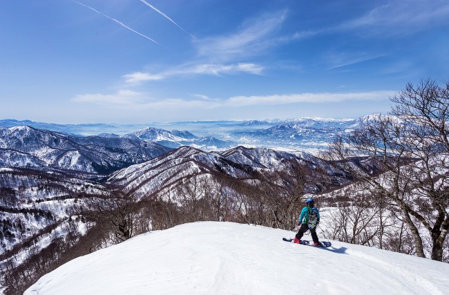
For such a warm day yesterday we experience some remarkable atmospheric conditions. It was startlingly clear up high with visibility stretch for hundreds of kilometres from the peak. The Hakuba range and high peaks of the Japan Alps were revealed in stunning detail. Usually these ranges are washed out for fine detail due to slight haze, especially during warm weather where pollution is blown in from the south.
Tomorrow will be the designated rest day for the week with moderate rain and warm temperatures forecast. Expect poor skiing conditions. Things should cool off and become sunny again by Friday and continue this way until Sunday. Following this we are looking at a nice run of snow and cold weather. Based on current long range predictions moderate snows are possible most of next week.


