

Powder and sunshine on the horizon 🌞
Powder and sunshine on the horizon
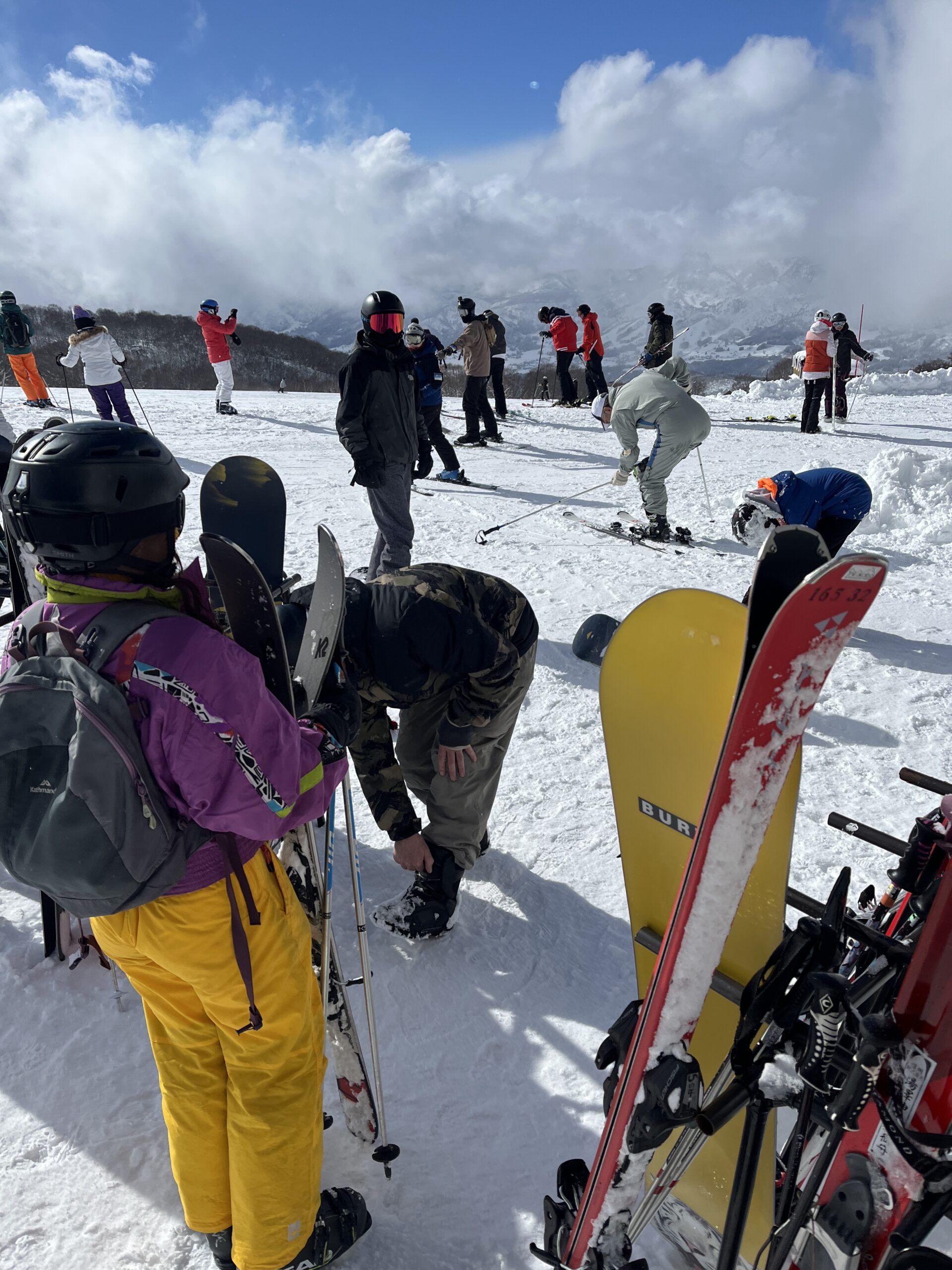
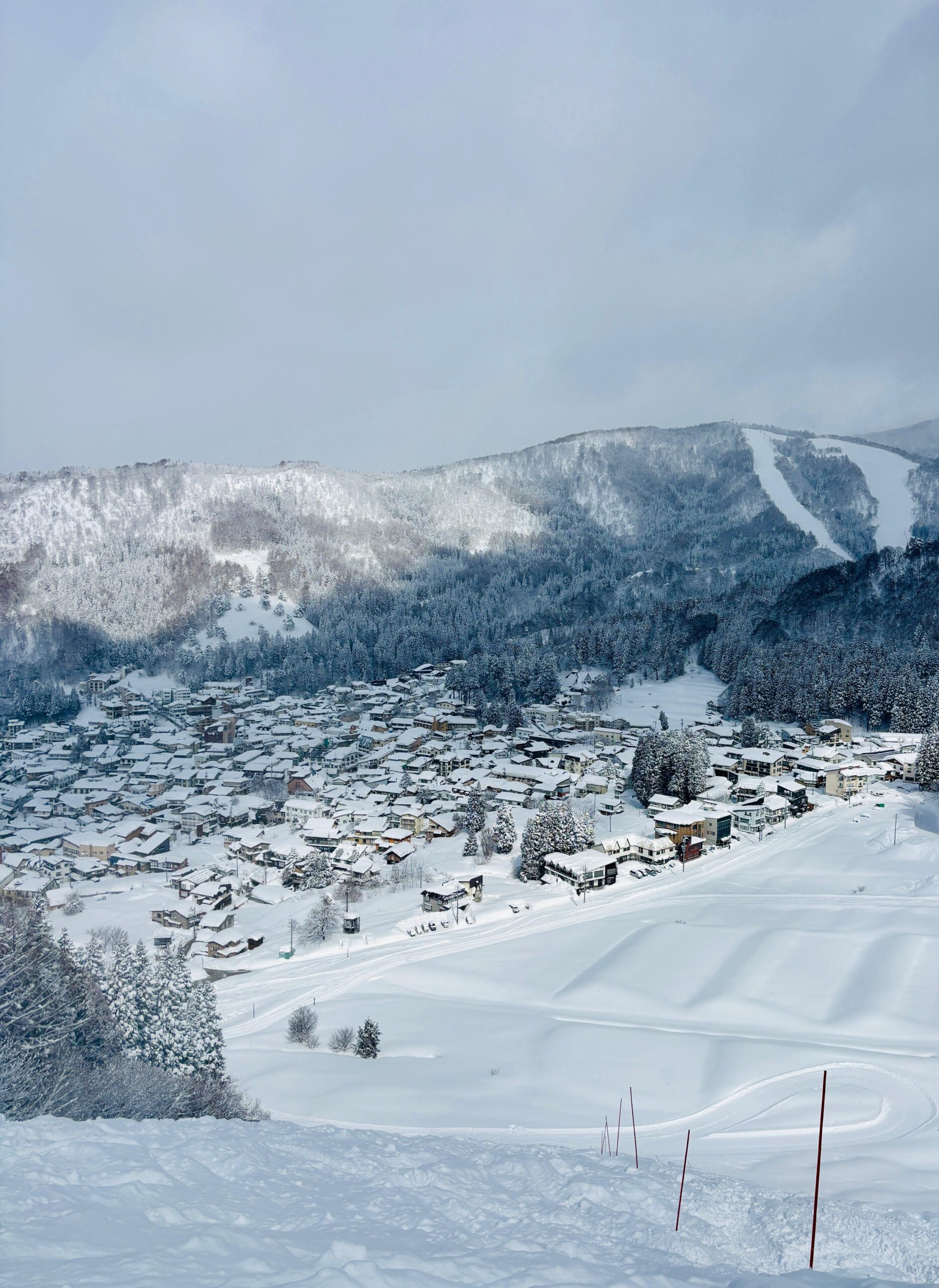
Nozawa Onsen is blanketed under a fresh layer of white, fluffy snow this morning, and the base up top continues to climb—now sitting at a massive 460cm! With recent overnight dumps, we’re all wondering… will we hit the 5-meter mark this season? Yesterday brought a stunning mix of sunshine and snowfall, delivering top-tier conditions for carving up the slopes. Today and the next few days will be chilly, with temperatures dropping to -12°C up top, so layer up! But change is coming—starting Monday, the bluebird train rolls into town, bringing clear skies and a taste of spring. Expect warmer temps, t-shirt weather, and plenty of sunshine—so grab your sunnies, lather on the sunscreen, and get ready for a dreamy week ahead!

TODAY:
🌡️ Temperature at Nagasaka top: -9
❄️ New snow since yesterday: 35cm
🏔️ Base at the top of Nagasaka: 460cm
❄️ Snow conditions: Freshly groomed with layers of light snow
🌤️ Weather: Cloudy with snow showers throughout the day
⛷️ Runs: All runs open with exception of Kamoshika
🚡 Lifts: All lifts open
❄️ SNOW FORECAST:
Upcoming snow forecast looks promising! Consistent snowfall expected from today through Monday. Winds will be light to moderate at times, allowing for great visibility. Temperatures will stay cold, showing -12°C until Monday, with nighttime lows dropping below -20°C at the top. After Monday, the weather clears up, bringing sunny skies from Tuesday (Feb 25) through Thursday (Feb 27). Another storm cycle seems to be forming from Sunday (March 2), bringing heavy snow again. If you’re heading up, expect excellent conditions early in the week with deep powder but be prepared for cold temperatures and changing visibility. Stay warm, safe and enjoy Nozawa Onsen’s winter magic!
