
Powder filled clouds approaching!
Powder filled clouds approaching!
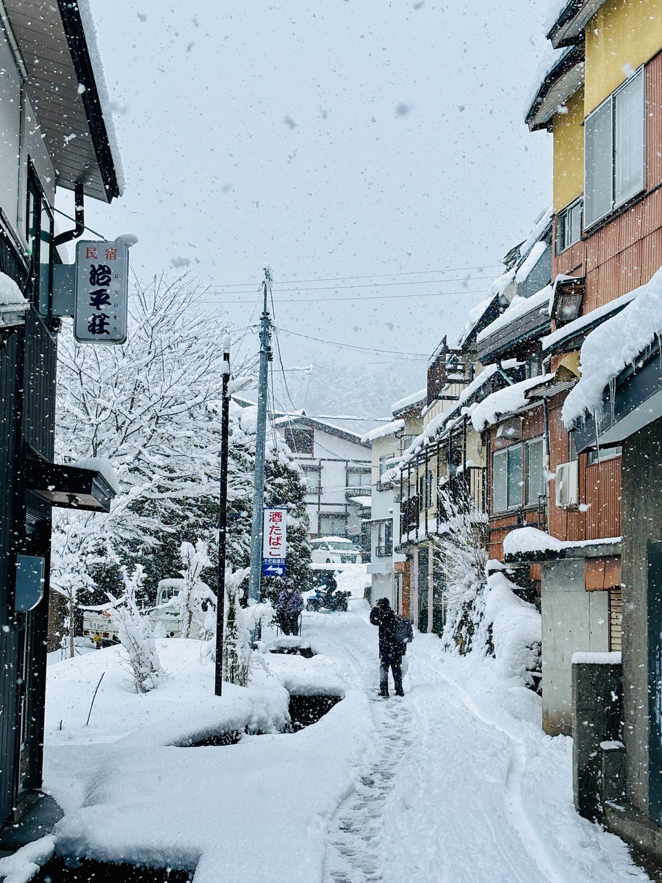
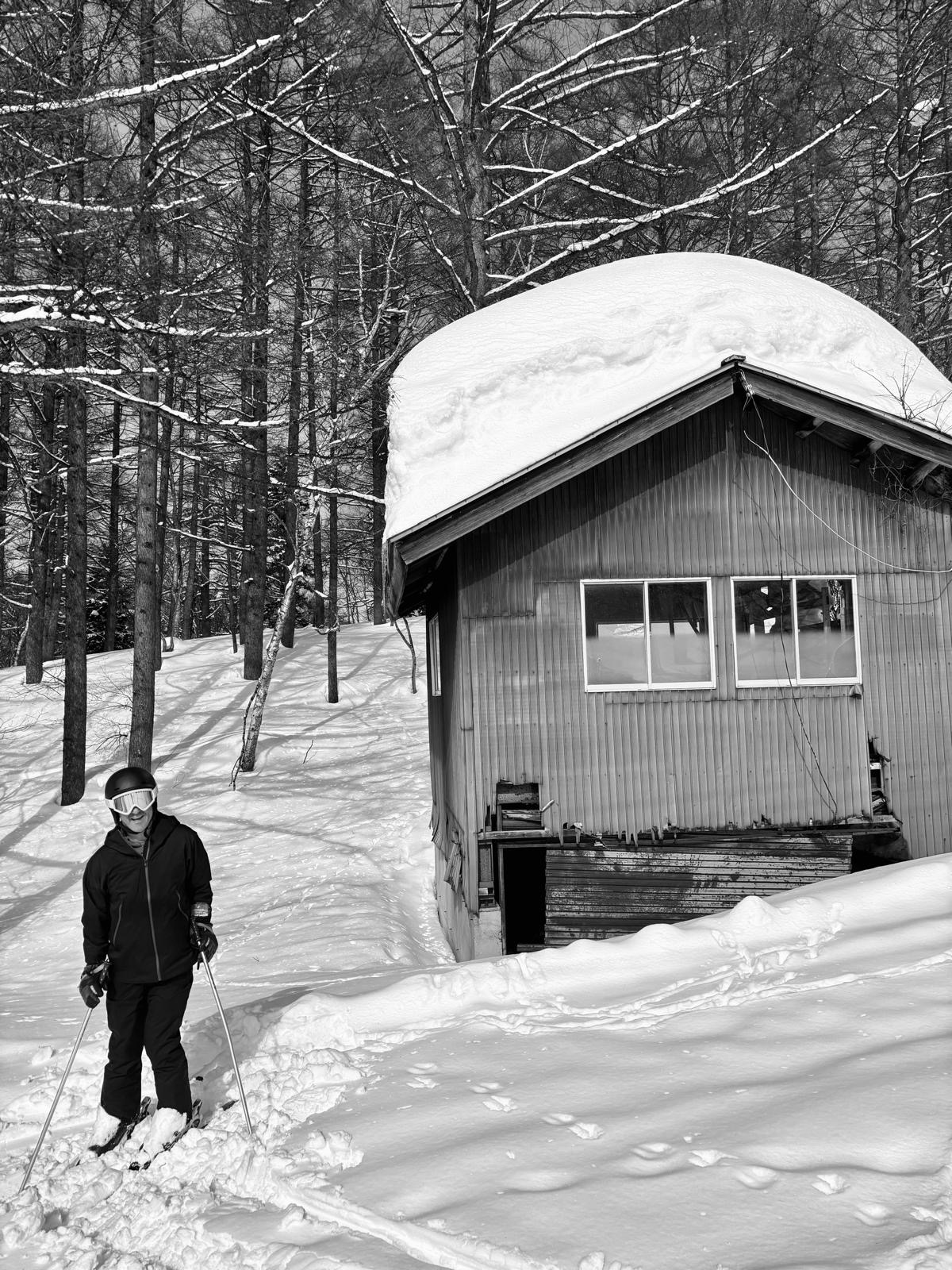
Light snowfall on the menu today, setting the stage for an epic week ahead! The snow gods are gearing up to deliver a real treat, with heavy snow expected to start falling tomorrow. If the forecast holds, we’re in for over half a meter of fresh powder by Thursday evening. But that’s just the beginning—after a brief break with milder, sunnier skies this weekend, another massive snowstorm is lining up to grace us with over a meter of snowfall, potentially setting a new base record for the season! Expect frigid temperatures of -15°C at the summit, so layer up. Yesterday offered fantastic carving conditions with clear skies and even a touch of sunshine—perfect for soaking up those mountain views. With incredible snow and endless fun on the horizon, get your gear ready, stay genki, and we’ll see you on the slopes! 🏂❄️⛷️
TODAY:
🌡️ Temperature at the top: -5 degrees
❄️ New snow since yesterday: 0cm
🏔️ Base at the top of Nagasaka: 245cm
❄️ Snow conditions: Nicely groomed with powder comeback from tomorrow!
🌤️ Weather: Cloudy with light snowfall
⛷️ Runs: All runs open
🚡 Lifts: All lifts running
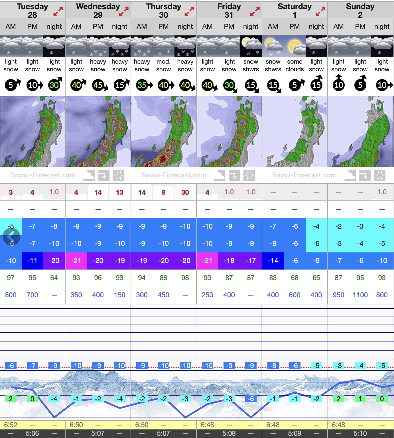
❄️ SNOW FORECAST:
Get ready for an epic week at Nozawa Onsen! Heavy snow kicks off tomorrow (Wednesday) and continues through Thursday, delivering fresh powder daily, with daytime temps around -10°C at the summit. Friday brings lighter snowfall, followed by a sunnier weekend with milder temps around -4°C—perfect for soaking in the views on our scenic slopes. Looking ahead, more heavy snow is on the horizon early next week, so the conditions will stay incredible. Bundle up and enjoy the winter magic!