
Spring Tease to Snowy Dreams
Spring Tease to Snowy Dreams

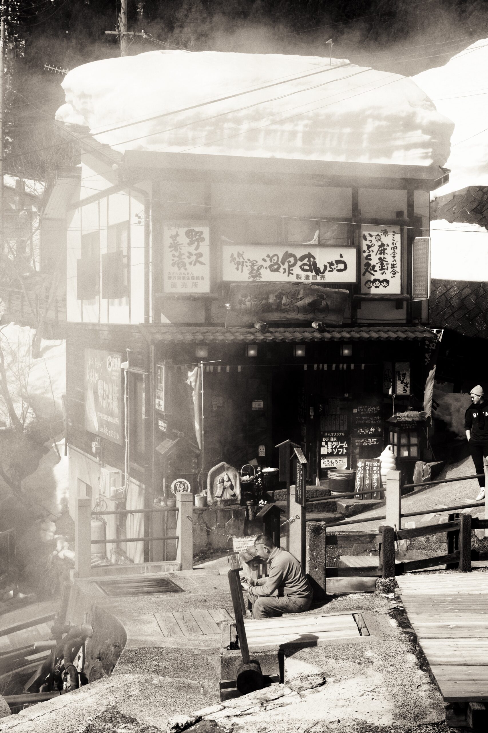
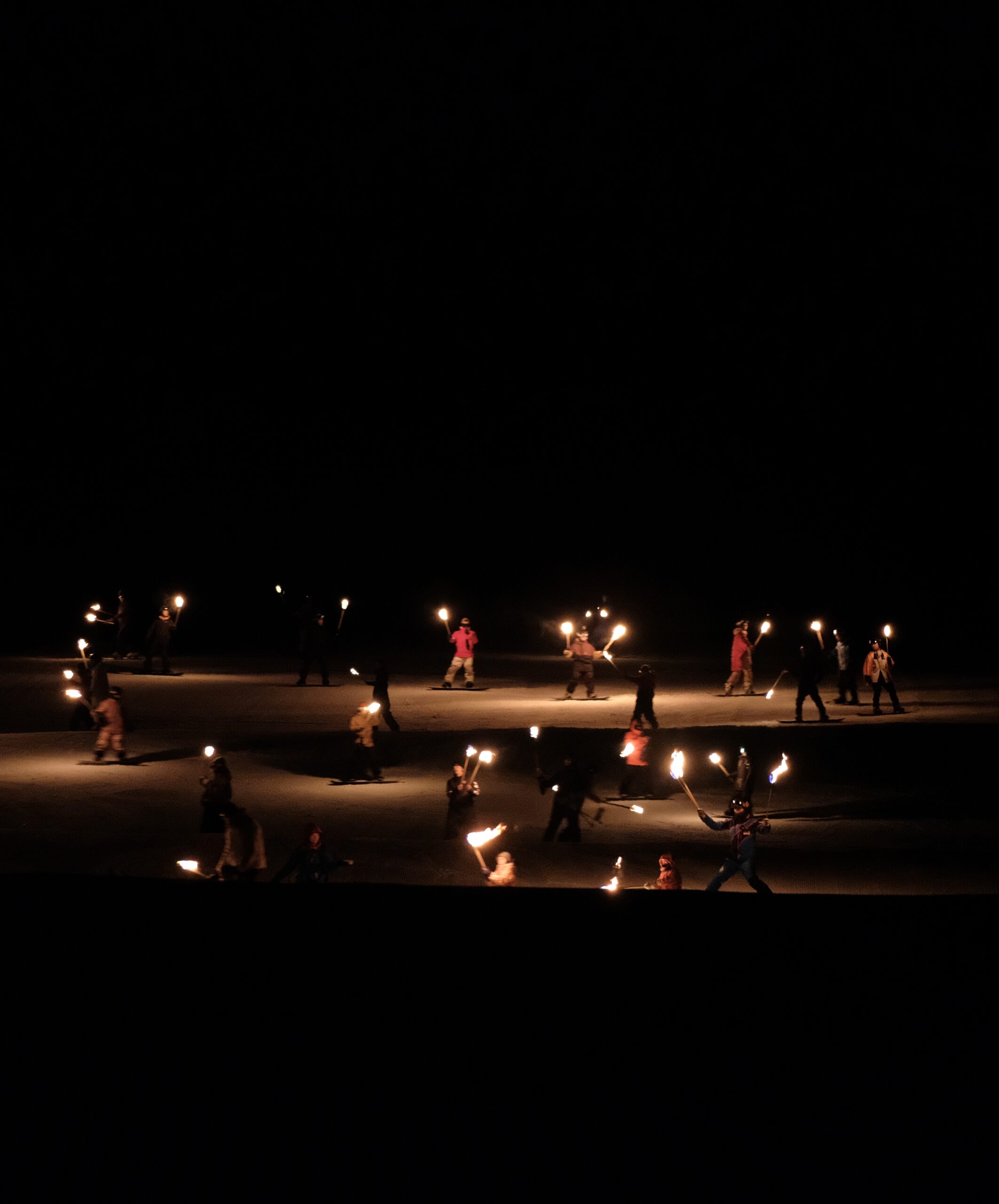
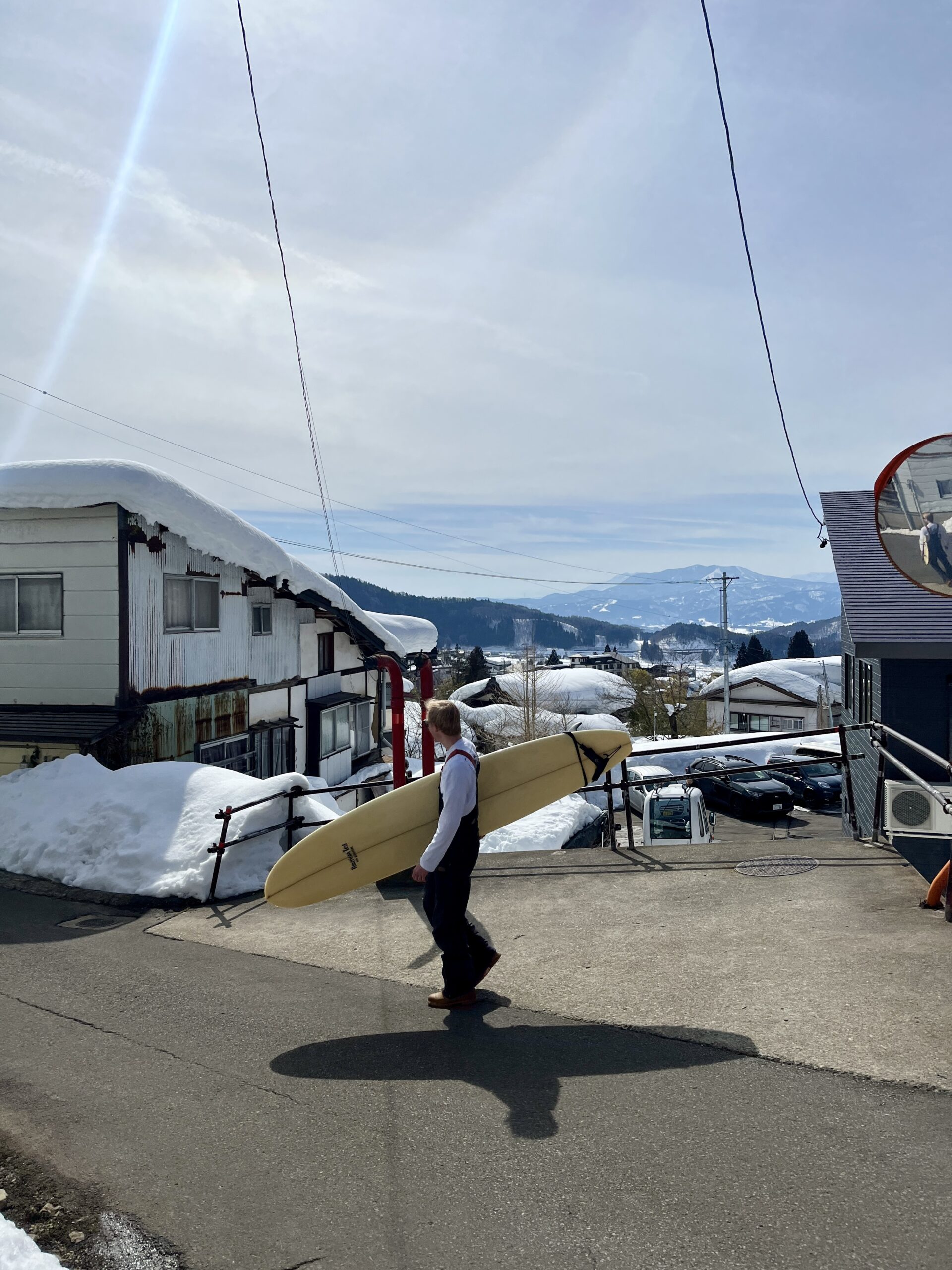
Yesterday brought us a taste of spring on the slopes, with a mild 2°C at the top and stunning bluebird skies—our warmest day of the season so far! Some were even spotted enjoying the sunshine in T-shirts. The perfect weather set the stage for a magical Lantern Festival, ending with a breathtaking fireworks display over Nagasaka slope. But winter isn’t done with us yet! A bit of rain is expected today in both the village and on the mountain, but by Monday morning, we’ll be waking up to a fresh layer of snow blanketing the resort once again. Looking ahead, the long-term forecast is teasing us with some big snowfall numbers, so expect more powder days ahead—plus a little sunshine to round out next weekend.
Stay tuned and get ready for more epic days on the mountain! ❄️⛷️🏂
TODAY:
🌡️ Temperature at Nagasaka top: 2
❄️ New snow since yesterday: 0cm
🏔️ Base at the top of Nagasaka: 390cm
❄️ Snow conditions: Groomed with compressed snow conditions
🌤️ Weather: Mostly cloudy with possible rainfall across the resort
⛷️ Runs: All runs open
🚡 Lifts: All lifts open
❄️ SNOW FORECAST:
A mix of snow and changing weather patterns are expected this week. Monday (3rd) will bring heavy snowfall, followed by lighter snow showers through Thursday (6th), with moderate to heavy snowfall on Friday (7th). Expect cold temperatures throughout the week, dropping to as low as -24°C at higher elevations. Winds will increase midweek, peaking on Thursday and Friday, potentially impacting lift operations. The weekend (9th-10th) will see clearing skies and milder temperatures, providing great conditions for skiing. Fresh powder accumulations are expected, making for excellent conditions early in the week. Stay safe, have heaps of fun and see you on the mountain!