White Forecast Ahead in Nozawa
White Forecast Ahead in Nozawa
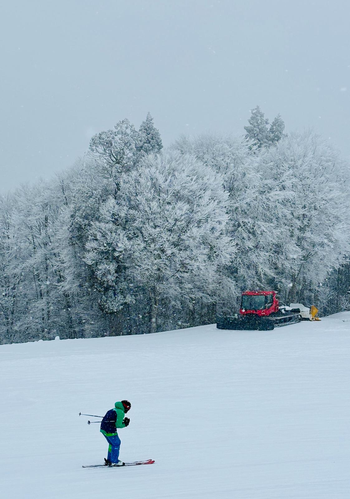
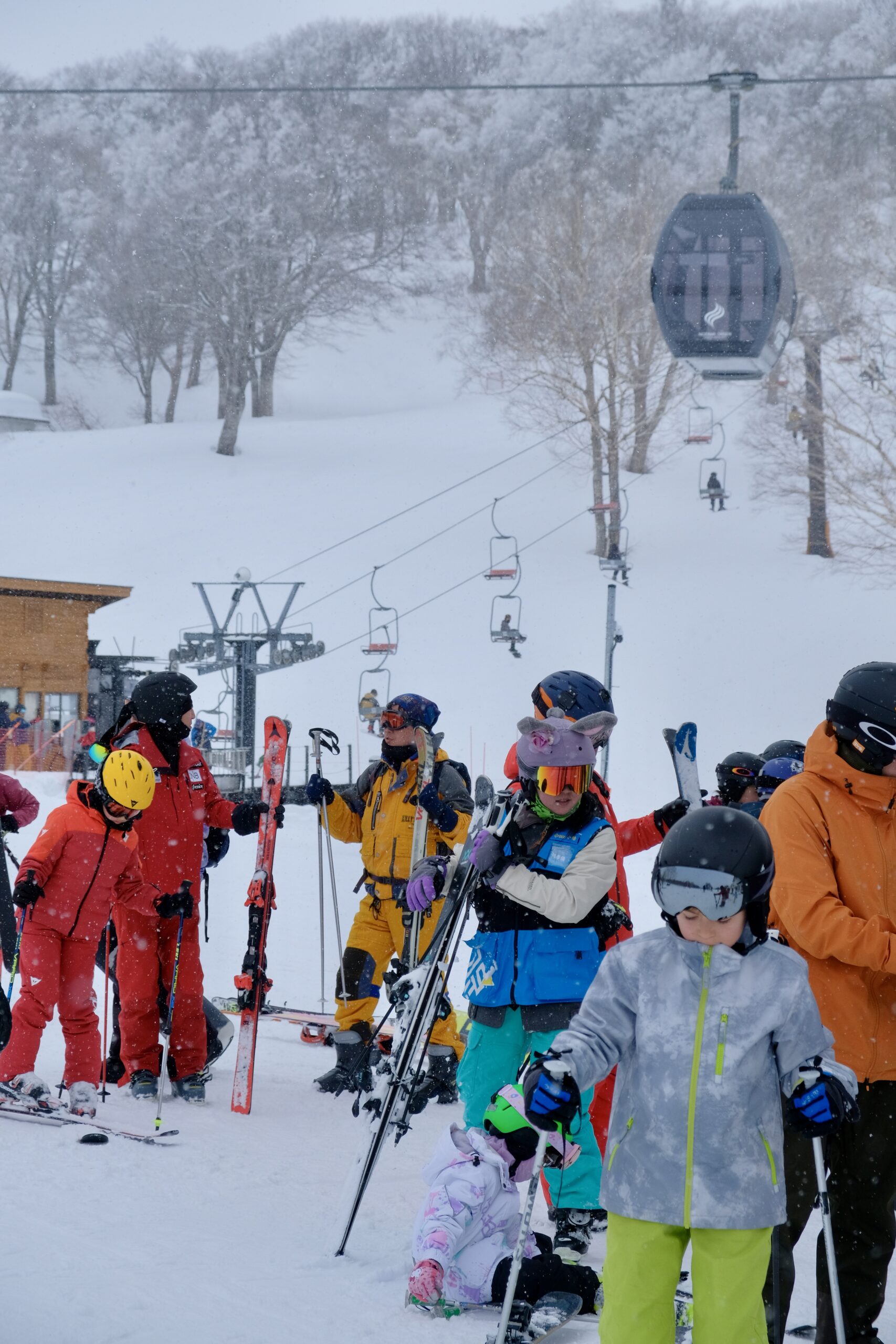
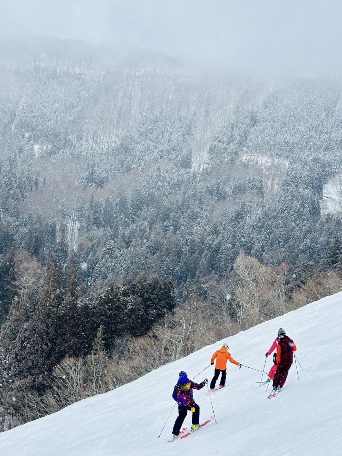
Weather predictions for the start of this week came true with fresh snow starting to cover the mountain and plenty more on the way. A positive change bringing us back to the winter wonderland after last week spring spike. Today we should expect to see a decent snowfall throughout the day with moderate winds increasing slightly in the afternoon and bringing us more powder for Tuesday. Yesterday’s morning freeze covered the trees on the top of the mountain creating beautiful landscapes to admire with light snowfall joining for the show later in the afternoon. After a busy long weekend on the slopes today should be quieter across the resort with lifts, slopes and restaurants all having a lot less traffic. Stay safe and have an amazing day carving through the snow!

⛅️TODAY:
Temperature at the top: -3 ℃
New snow since yesterday: 6cm
Base at top: 160cm
Wind: 30km/h North west increasing to 40km/h at the end of the day
Weather: Snowing until Tuesday night

White Forecast Ahead in Nozawa
🚡LIFTS IN OPERATION: All operating lifts running smoothly.
🌄RUNS OPEN: All runs open with the exception of Yunomine A, Kandahar, and Hachiman, lower skyline and Schneider

❄️ SNOW FORECAST:
Brace yourselves for a wintry comeback this week. Expect around 50cm of fresh coming our way until Tuesday night and more predicted to fall ending this week. Today’s forecast predicts freezing temps from top to bottom of Nagasaka Gondola with moderate winds reaching 35km/h in the afternoon. After the current snowfall generously layering the slopes until Tuesday we should see a small window for the sun to peak through the clouds on Wednesday with temps rising but remaining below zero up top. Longterm forecast is showing an alternating weather switching between the colder snowy days and warmer sunny ones giving us a good mix of conditions.


