Base up top: 210 cm Temp Top; -9 Degrees
Base at bottom; 95 cm
New Snow since close: 10-15 cm
Weather; Light snow
Light snowfalls have continue without respite overnight in Nozawa Onsen, as a result we have recorded some decent totals since the close of lifts yesterday. 10cm was recorded up top, 15cm across the mid mountain and 5cm at village level. At the moment conditions are overcast with occasional flurries and cold temperatures across the mountain. We expect visibility to improve later in the day with a partly cloudy afternoon on the cards.
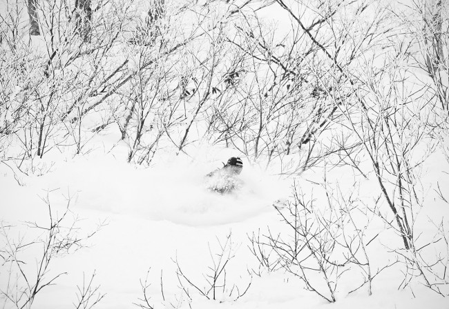
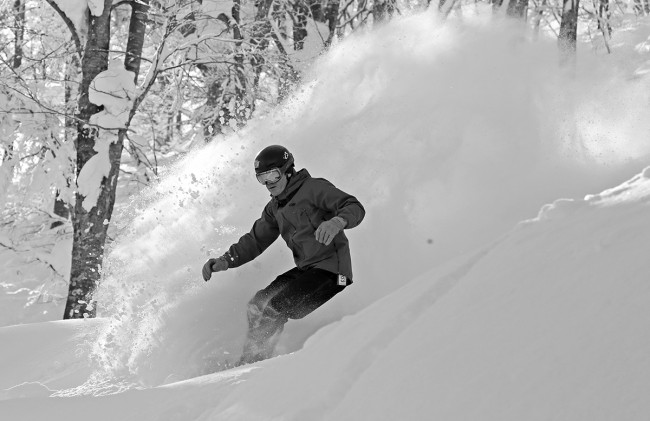
Conditions will be excellent across the whole mountain. Groomers will be fast with a nice dusty powder layer and the trees will have plenty of fresh powder on offer. Most areas of the upper mountain have filled in nicely and there are now far fewer exposed bushes.
Yesterday saw cold conditions later in the day with an improvement in snow conditions. The visibility stayed marginal across most of the mountain all day limiting the quality skiing to inside the trees.
According to the forecast further light snow is expected tomorrow, then clearing for tuesday. Wednesday should see the impact of a pre-frontal southerly airstream which are set to increase the freezing level to around 1000m. Following that a strong frontal system will move across Japan Thursday dropping heavy snow which will continue into Friday in the current forecast. This is subject to revisions over the coming days.


