Base up top: 210 cm Temp Top; -10 Degrees
Base at bottom; 90 cm
New Snow since close: 1 cm
Weather; Sunny
We have a picture perfect morning in Nozawa Onsen. Crystal clear blue sky with not a cloud in sight, light winds, very cold temperatures and plenty of deep fresh. Atmospheric visibility is top notch so the views from the top will be superb. Look west for views of the Sea of Japan and Sado island offshore.
Today all piste courses will be excellent; fast and smooth and will remain that way well into the afternoon with the light crowds. All upper off piste areas will be outstanding with vast expanses of untracked powder.
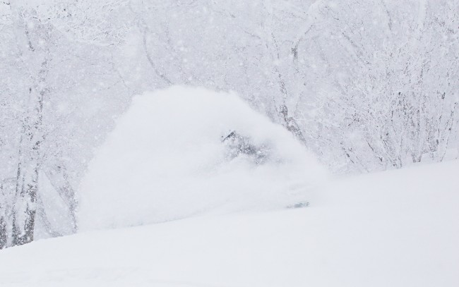
Yesterday turned out much better than expected. The morning was very cold and windy and snowfalls increased becoming heavy around lunchtime. The heavy snow quickly filled in tracked areas and the limited vis kept the crowds at bay. Seeking shelter in the trees was the place to be with deep accumulated fresh. By mid afternoon the snowfalls and wind abated providing exceptional winter views across the valley.
Make the most of the sunshine while it lasts as we are about to enter a very snowy period. Tomorrow will be marginal with warm prefrontal temps and possible rain lower down. Heavy snow is forecast to set in Wednesday night and we should expect falls to fluctuate between moderate and heavy until at least Sunday. Temperatures will be very cold with the freezing height falling to about sea level. This is the most impressive and prolonged system we have seen so far this winter.


