Base up top: 210 cm Temp Top; -8 Degrees
Base at bottom; 90 cm
New Snow since close: 5-8 cm
Weather; Light snow
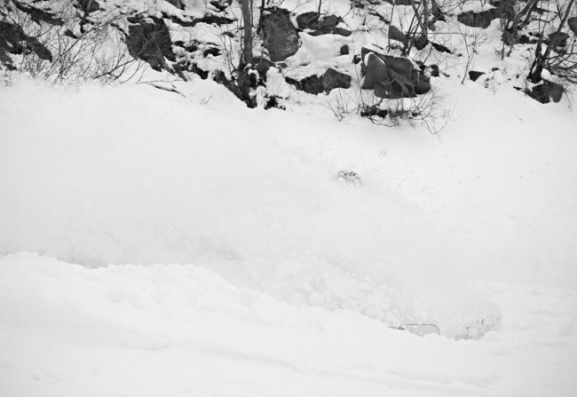
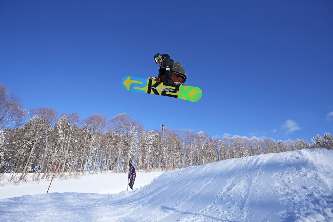
The light snow just docent seem to stop here in Nozawa Onsen. At the moment we have quite cold temperatures and continued flurries which have lasted the night. Since close of lifts 5cm has been added up top, 8cm mid mountain indication windblown conditions. Conditions will be excellent across the whole mountain. Groomers will be fast and smooth. The trees and off piste will have superb moderately deep powder stashes. Nice!
Since yesterday the crowds have dramatically dropped off as Japanese tourists return home after their holidays. Reports from the mountain indicated plentiful fresh lines well into the afternoon, even in the more frequented haunts.
The current forecast looks even more promising than current conditions. Overnight we have seen an upgrade in the system expected in the second half of this week. The system is quite cold and strong with a classic NW winter airflow which will pick up substantial moisture from the Sea of Japan. We expect the first snow to fall Wednesday night some time building in intensity over Thursday. Friday should be very cold with continued moderate snowfalls and Saturday should see a possible clearing trend. As a bonus the prefrontal warmth expected Wednesday has been slightly downgraded, with cooler conditions predicted. It looks like the week ahead will be very good indeed.


