Snowy Sunday sessions

Nozawa Snow Report 12 February 2017: Stats
Base at top: 390 cm
Temp at Top: -9 Degree
Base at Uenotaira station: 295 cm
New snow since close: 25 cm
Weather: Snow
Nozawa Snow Report 12 February 2017: Overview
There is nothing better than a last minute forecast upgrade and this is exactly what has happened. Yesterday the forecast was showing for some moderate snow showers Saturday night however an embedded low pressure that built right off the west coast caused a rapid upgrade to the forecasts. As such we now have 25cm on the ground since last lifts yesterday which is great. Now the tricky part of avoiding the substantial weekend crowds. For this I can recommend the mid station area which rarely holds a lift line and offers plenty of mellow stashes through the trees. Later today snowfalls will ease with even possibly some decent visibility.
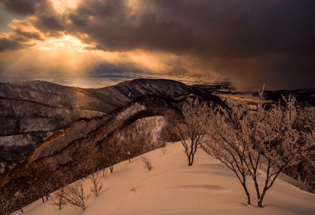
Yesterday we experienced some great snow conditions but it was extremely crowded thanks to Japan Day. Probably the most crowded since early January. However this almost worked in favour of those willing to put in extra effort to score as it appeared most people eventually gave up with the lines and went home. Snow showers continued off and on and during the afternoon there were some good breaks of clear air. Later in the evening, a spectacular sunset as clouds built above the western ranges peirced through with sun beams.
Nozawa Snow Report 12 February 2017: Forecast
After today snow showers will continue on and off for the next few days seperate by periods of fine weather. Cold temperatures will remain until around Thursday when a high pressure sweeps over the region creating very sunny skies and warming temperatures. After that another burst of cold air and powder snow for next weekend.


